A 280 mile bicycle trail is no small task. Can you imagine, the red tape alone just boggles the mind. In the case of the Bonneville Shoreline Trail (BST) project it is certainly no exception. The BST runs along what used to be an ancient lake shoreline that backed up against the Wasatch mountain range. Today the lake is a series of valleys where modern day civilization has settled. The trail runs along the foot of the mountain range where steep mountains have stopped the expansion of home building and so the trail will consequently be a barrier between civilization and the Utah wilderness. The setting is perfect for mule deer sightings and beautiful western sky sunset back drops; A photographers dream.

Photo from www.mtbproject.com
Presently the project is spotty with only about 100 miles of trail ready for riding. Many cyclists enjoy these small sections and sometimes have different names associated with the terrain. The picture above is a section of trail called "The Bobsled" and is popular with Salt Lake City riders and other enthusiasts.
Rock Canyon Trail

Photo by: Mary Ann Nielsen
Connection to Provo River Trail
Some of the difficulties regarding the project include private land blocks and federal land blocks. There are even some trails that go through these areas do to lack of knowledge and or regulation. In many cases it is a no harm no foul situation. Always respect the trail and private land.
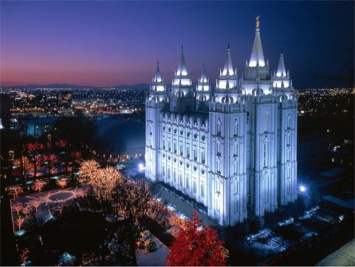
The grand project will offer spectacular valley views of multiple landmarks including LDS temples, the great Salt Lake, Antelope Island, Utah Lake, The Krishna Temple and a list that could continue until my fingers are aching and my keyboard is worn out.


Dream Mine


John Muir
No comments:
Post a Comment